Building & Infrastructure Annotation
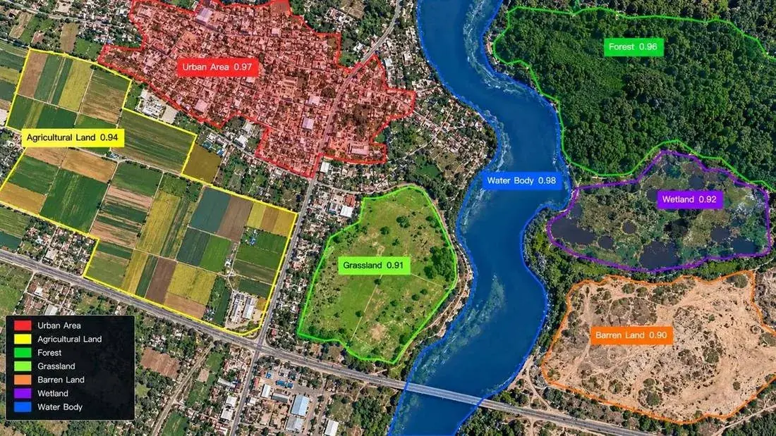
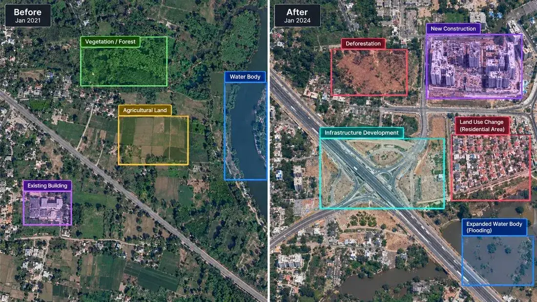
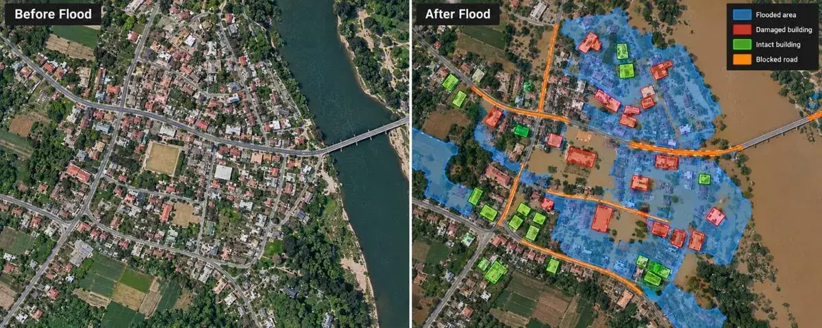
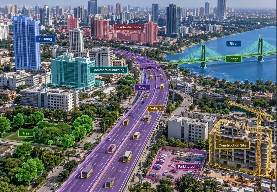
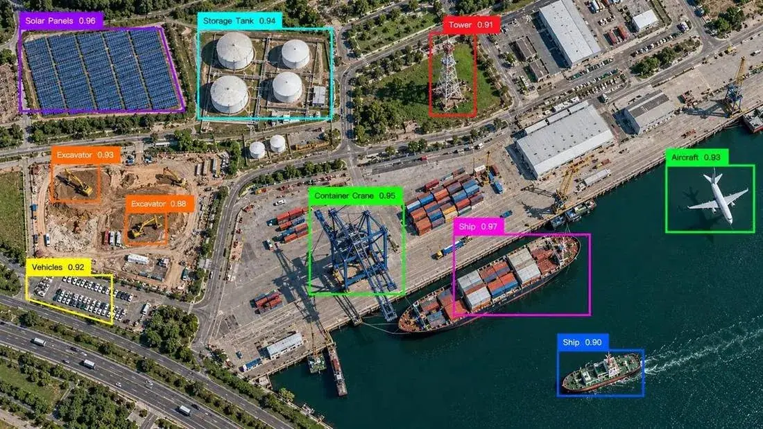
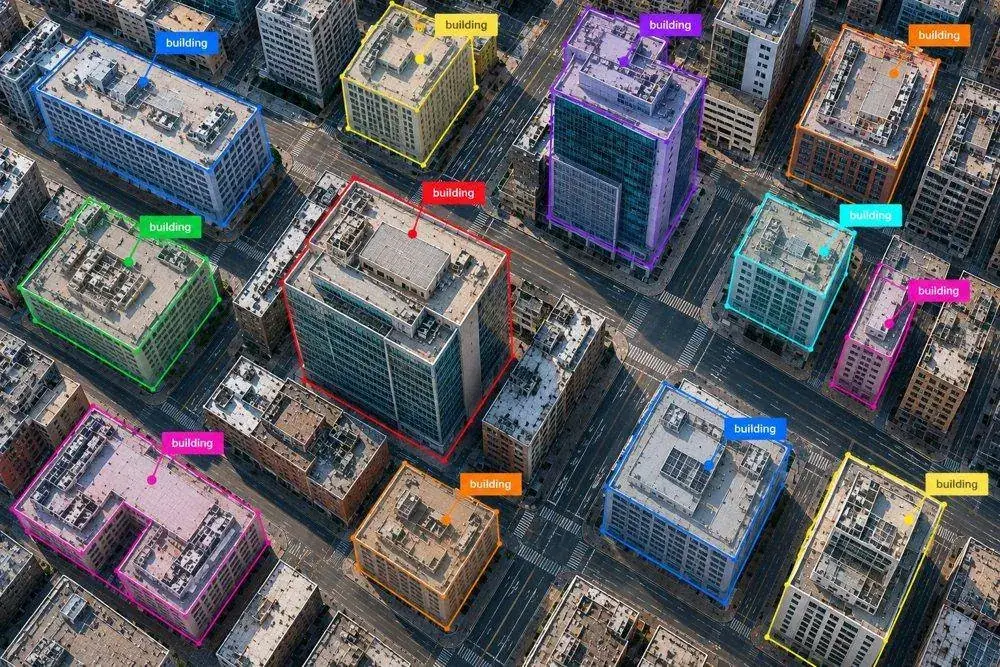
Identifying and localizing buildings, bridges, towers, industrial facilities, residential structures, and other man-made infrastructure using bounding boxes, polygons, and segmentation masks. These datasets support urban mapping, infrastructure monitoring, property intelligence, and geospatial analysis.
Road & Transportation Annotation
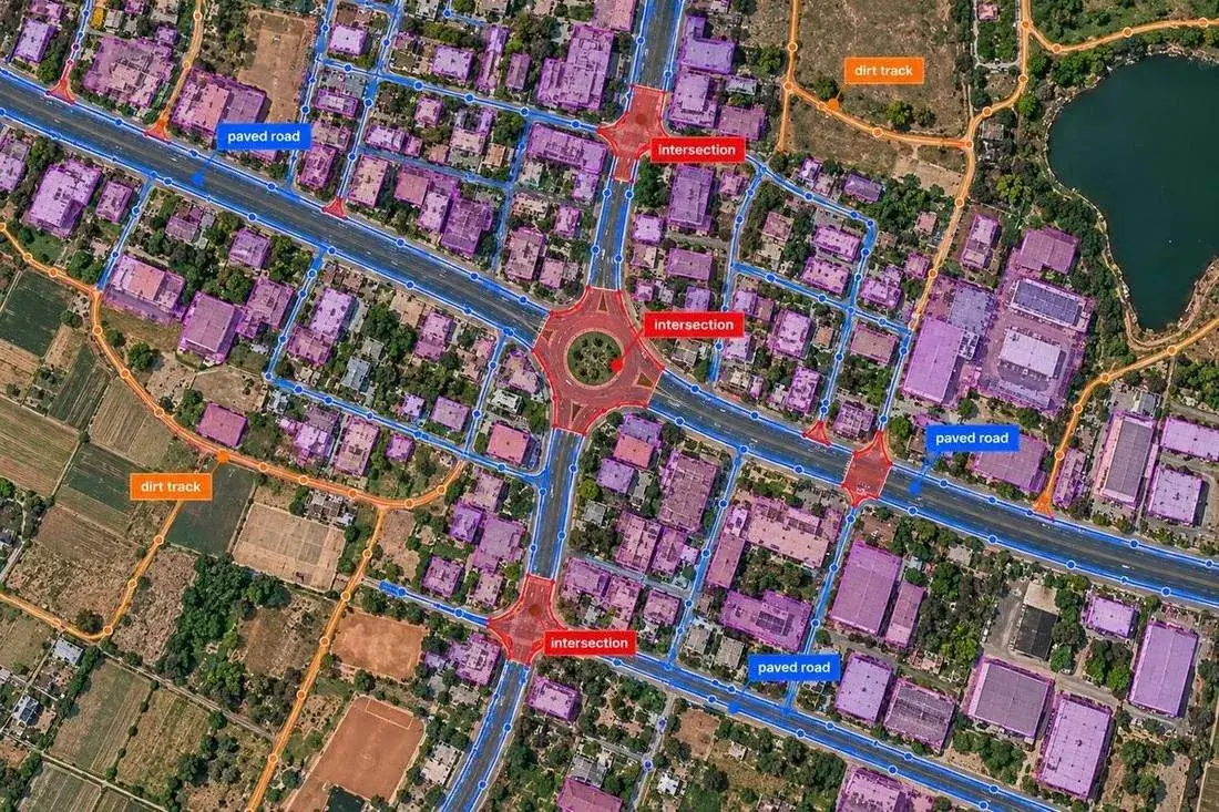
Annotating roads, highways, streets, intersections, railways, bridges, runways, parking areas, and transportation networks. These datasets support automated mapping, transportation analysis, route planning, and infrastructure intelligence.